Finding your way in a city without a phone
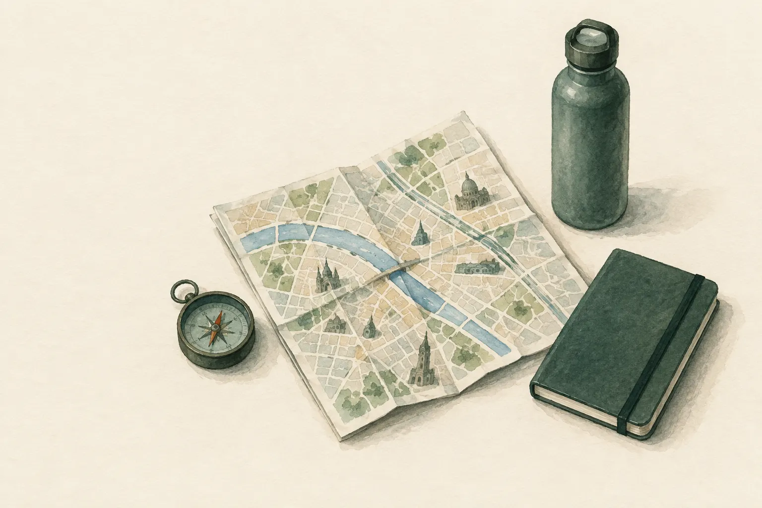
During a power cut, with a dead battery or a network failure, the navigation app is gone. In cities, street signs, house numbers, stop maps, prominent buildings, rivers and railway lines help – as does a city map printed or bought in advance, marked with meeting points and key addresses.
- One-time preparation; continuous on the way
Explained simply
Many people only find their way around a city with their phone. But what if the battery is dead, the power goes out or the network fails? Then the city itself helps you. It is full of clues: street signs on every corner, house numbers, maps at bus and train stops, and tall buildings you can see from far away.
Imagine the city as a big net. A few thick threads hold everything together: a river, a big ring road, a railway line. If you know these big lines, you can follow them along – even if you do not know the small streets. A church tower or a tower block shows you which direction the centre lies in.
The most important thing: prepare while everything still works. Write down important addresses and phone numbers on paper, agree a meeting point with your family, and in a crisis always follow the instructions of police and rescue services, even if a street is closed.
How it works
In nature you orient yourself by handrails (long lines such as paths or streams that you follow), catching features (lines that tell you that you have gone too far) and reference points (prominent points visible from afar). The city has exactly these, only made of concrete: main roads and railway lines are handrails, a river or a ring road can be a catching feature, and towers, tower blocks or a large station are reference points.
On top of that there is information made specifically for orientation. Street names hang at junctions, often on building corners. House numbers reveal which way a street 'runs': in many cities the numbers rise in one direction, often with even numbers on one side and odd on the other; but there are also streets where the numbers go up one side and come back down the other. Stops and stations often have local maps with a 'you are here' dot.
If you know in which direction from your neighbourhood the river, the centre or the station lies, you already have a rough framework in your head. Often that is all you need to set off in the right direction and correct your course on the way using signs and by asking.
What really matters
Preparation is what counts. Get a paper city map – bought or printed – and mark your home, work, school or nursery, the homes of important people, an agreed family meeting point and possible places to go for help. Also write important addresses and phone numbers on a slip of paper in your wallet. Without a phone, hardly anyone knows their loved ones' numbers by heart.
Learn the most important routes on foot, not just by car or train. People who always ride often do not know the walking routes or how long they take on foot. A walk from home to the children's school or to your workplace, once deliberately without navigation, shows you the route and its landmarks.
On the way, remember distinctive corners for the way back: a striking shop, a monument, an unusual junction. Turn around now and then so you know what the route looks like from the other side. And ask when you are unsure: people in shops and taxi and transport staff usually know their area well.
Safety: what to watch out for
In a crisis, roads, bridges, tunnels or whole districts may be closed – for example because of flooding, fires, accidents or emergency operations. Always obey barriers and instructions from police and rescue services, even if the shortest route leads that way. Evacuation routes are set by the authorities; listen for their announcements on the radio, over loudspeakers or on notices.
During a power cut, street lighting and traffic lights often fail at night too. Then move especially carefully, carry a torch if possible and watch out for traffic. Stay on busy, open streets if you feel unsure. In an emergency, use the local emergency number (112 in the EU) – but in a major outage, phones may not work either. That is exactly why a meeting point agreed in advance is so valuable.
Typical situations
During a power cut you may want to get home from work or pick up the children. It helps if you have walked the route before and know the big lines: 'Follow the river to the second bridge, then up the main road.' Even when trains and buses are not running, their stops and lines show the direction to districts and the centre.
In an unfamiliar city when travelling, a quick look at a city map before you set off is worthwhile: where is my hotel in relation to the river, the station, the centre? A photo of the map or a map from the hotel, the hotel's address on a slip of paper and one or two striking buildings nearby are often enough to find your way back safely.
How to practise it
Have a 'phone-free day': walk a route in your city using only a paper map, signs and asking. With children this can be a game – they get to read the street signs and say which way to go. Use it to talk about where your family meeting point is and how everyone gets there from their usual place.
Check now and then whether your city map is still up to date and whether the addresses and numbers on your slip of paper are still correct. Paper maps go out of date, and cities change. A quick look once a year is usually enough.
Step by step
Prepare
Get a paper city map and mark home, work, school, meeting points and emergency contact points. Also write down key addresses.
- 1
Prepare
Get a paper city map and mark home, work, school, meeting points and emergency contact points. Also write down key addresses.
- 2
Remember the big lines
Memorise a few main axes: river, ring road, railway line. They are the city's handrails.
- 3
Read signs and house numbers
Street names at junctions, the direction of house numbers and maps at stops show position and direction.
- 4
Use landmarks
Tall, highly visible buildings serve as direction indicators. Note distinctive corners as you go for the way back.
- 5
Ask
Passers-by, shops, taxi and transport staff know the area. Ask when unsure instead of guessing.
Common mistakes
- No addresses stored outside the phone
- Only knowing routes you drive
- Getting around barriers
- No meeting point agreed in advance
Quick view
Materials
Field notebook and pencil
Key addresses and routes written down
Suitable for
- Power and network outages
- Unfamiliar cities when travelling
- Getting to an agreed family meeting point
Not suitable for
- Closed danger zones – instructions from authorities take priority
Prerequisites
- Basic knowledge of your own city
- Paper map or notes with addresses
Safety
- In a crisis, roads, bridges or districts may be closed. Always follow barriers and instructions from police and rescue services, even if the shortest route leads that way.
How it works
Cities are full of handrails and markers: main roads, rivers, railway lines and house-number sequences. If you orient yourself by a few big lines and know reference points (church tower, tower block, station), you can reach your destination without a device.
Advantages
- Independent of power and network
- Easy to practise
- Builds local knowledge
Disadvantages
- Paper maps go out of date
- Harder at night and when street lighting fails
Deep knowledge
Background
Preparedness guides recommend keeping important phone numbers and addresses on paper and agreeing family meeting points. This knowledge becomes practical especially during power and network outages.
The principles of terrain association – handrails, catching features, reference points – transfer directly to streets, rivers and buildings.
Variants
- Along rail and bus lines
- Even when services are suspended, stops and route maps act as a handrail towards the centre or a district.
Common mistakes
- No addresses stored outside the phone
- Only knowing routes you drive
- Getting around barriers
- No meeting point agreed in advance
Limits and risks
- No guidance on evacuation routes – authorities specify these
- Cities differ greatly
Sources
Ready.gov – U.S. Federal Emergency Management Agency (FEMA): Make A Plan
Emergency plan with meeting places and contact information on paper
Bundesamt für Bevölkerungsschutz und Katastrophenhilfe (BBK), Deutschland: Ratgeber für Notfallvorsorge und richtiges Handeln in Notsituationen
Preparing for power and communication outages