Orientation and navigation
Map, compass, GPS and terrain
Knowing where you are and how to arrive safely – even when technology fails.
Method explorer
What do I use to find direction and position?
Method explorer
How do I keep a direction when neither compass nor phone is available?
Method explorer
How do I know where exactly I am on the map?
Map
Reading a map: scale, contour lines, legend
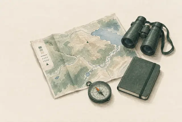
A topographic map shows not only paths but also the terrain. If you understand scale, contour lines and the legend, you can estimate distances, recognise steepness and look for landmarks deliberately – even without signal or battery.
Orienting the map
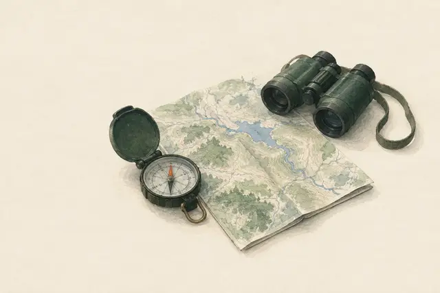
An oriented map is turned so that its north points towards real north. Then left on the map is left in the terrain – which makes recognising paths and features much easier. It works with a compass or by using unambiguous terrain features.
Coordinates and map grids: stating a position precisely
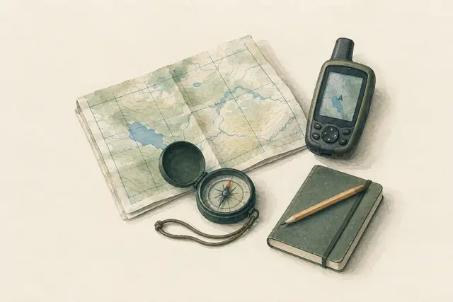
Coordinates make a position unambiguous – for your own navigation and above all for an emergency call. Topographic maps usually carry a grid (e.g. UTM or a national grid), devices often show latitude/longitude. What matters is the right format, the reading order ('along the corridor, then up the stairs') and the map's reference system (datum).
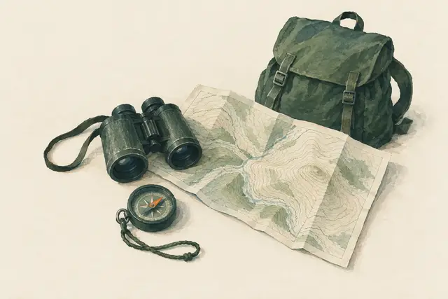
Reading contours: ridges, valleys, saddles, steepness
Contour lines show the shape of the land. Recognising ridges, valleys, saddles, knolls and steep steps lets you orient yourself without paths, choose safer routes and read your position from the landform.
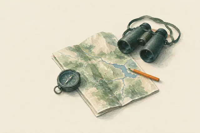
Keeping in touch with the map: thumbing and ticking off features
Most cases of getting lost begin with not looking at the map for a while. With thumbing, your thumb always rests on your current position and moves along with you; on the way you tick off features in your head ('crossed the stream, the junction comes next'). This way you notice mistakes after minutes rather than hours.
Planned topics (4)
- Map reading
- Topographic maps
- Scales
- Contour lines
Compass and GPS
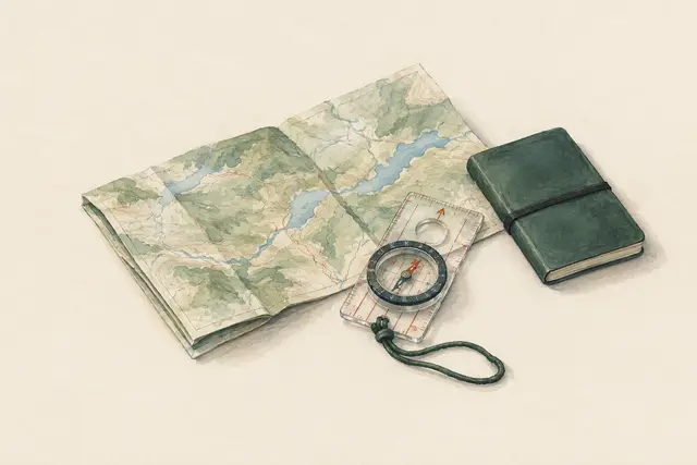
Taking and following a bearing with a baseplate compass
With a map and a baseplate compass you can determine the direction to a destination (a bearing) and hold it in the field – even in fog or forest. What matters is steady handling, distance from metal, and declination, whose value you look up on your own map.
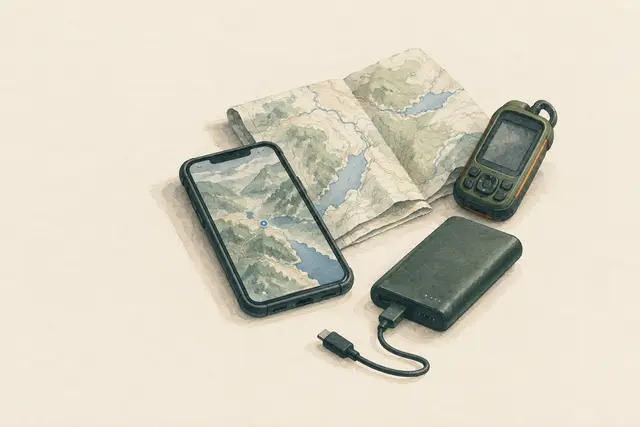
Navigating with phone and GPS: offline maps, battery, limits
Smartphones and GPS units usually show your position reliably, even without mobile signal – provided maps were saved offline beforehand and the battery lasts. Cold, continuous use and lack of backup power are the most common weak points. A paper map as backup remains sensible.
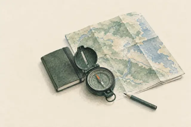
Understanding and applying declination
The compass needle points to magnetic north, while the map is aligned to true or grid north. The difference – declination – depends on place and year. Never take the value from memory: check it on the map or with a geomagnetic service, then convert consistently in one direction.
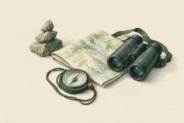
Holding a bearing in the field: leapfrogging, aiming off, detours
Setting a bearing is easy – holding it in forest, fog or around obstacles is the real skill. Proven techniques: sight intermediate targets, align each other in a group ('leapfrogging'), aim off deliberately and go around obstacles at right angles.
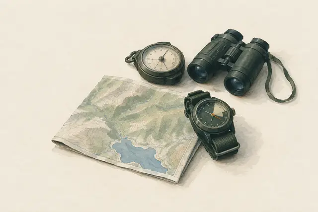
Navigating with an altimeter
A barometric altimeter (also built into many outdoor watches) adds a third piece of information to direction and distance: height. Combined with the map's contour lines it narrows down your position on a slope, ridge or path. Because it responds to air pressure, it must be reset regularly at known spot heights.
Planned topics (5)
- Compass
- Bearings
- GPS
- Offline navigation
- Waypoints
Terrain and conditions
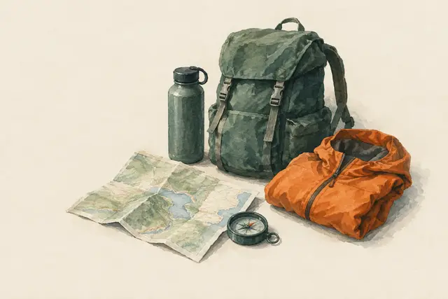
Lost: the STOP rule
When you realise you have lost your way, stop immediately instead of carrying on. STOP stands for Stop, Think, Observe, Plan. It is often safer to stay at an easy-to-find place, especially if someone knows your trip plan.
Handrails, catching features and attack points
Instead of just following a compass across country, you use long, easily recognised lines (streams, paths, forest edges) as handrails, plan a catching feature beyond the destination as a 'stop signal', and approach hard-to-find targets from a distinctive attack point. This makes navigation more robust and less error-prone.
Measuring distance: pace counting and timing
Knowing how far you have walked helps you find targets and notice mistakes. You measure your own pace on a known distance and count double paces on the move; over longer distances, timing helps. Other people's figures do not help – only your own measurement, checked in the terrain, counts.
Navigating at night, in fog and in whiteout
In poor visibility landmarks disappear, distances deceive and errors multiply. It is safer to walk short legs, use handrails, count paces and time, and keep the group close together – or deliberately stop and wait if the terrain is dangerous.
Relocating yourself: systematic instead of guessing
If you are unsure where you are, do not keep walking – narrow it down systematically: last certain point, time and direction since then, landform, slope aspect and – if landmarks are visible – a resection. If that fails, return to the last known point or stay put and get help.
Estimating distances by eye
How far is the forest edge, the hut, the ridge? Using practised reference distances, the level of visible detail and an awareness of typical illusions, you can roughly estimate a distance. This helps plan time and energy – it does not give precise values.
Using rivers, lakes and coastlines for navigation
Water bodies are clearly marked on maps and easy to recognise in the field – ideal handrails and catching features. Flow direction, tributaries and shoreline shapes confirm your position. But blindly following a stream downhill can lead into gorges, to waterfalls or into marshes, and on coasts tides cut off routes.
Planned topics (5)
- Forest
- Mountains
- Poor visibility
- Darkness
- Estimating distance
Planning and signals
Roughly estimating direction from the sun
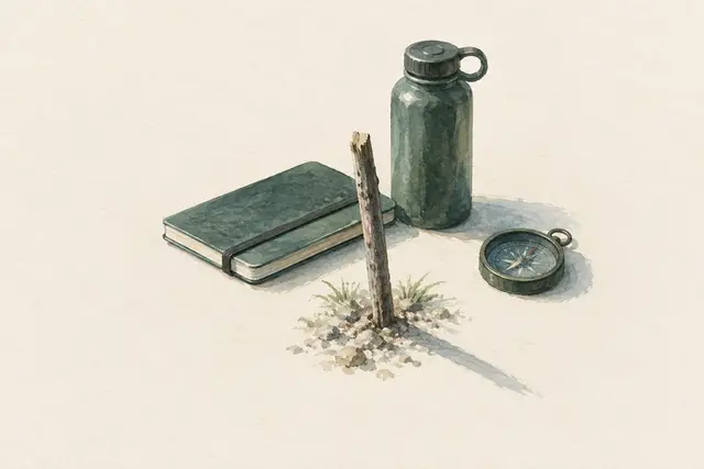
Without a compass, the sun gives a rough indication of direction, for example with the shadow-stick method. The result is imprecise, depends on season, time of day, latitude and hemisphere, and does not replace proper navigation.
Planning a route and leaving a trip plan
Good planning prevents most navigation emergencies: set the route, time needed, weather, escape options and a turnaround time – and tell a trusted person where you are going and when you will be back. Then the alarm is raised in time if something happens.
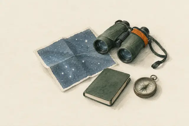
Finding direction by the stars: North Star and Southern Cross
On clear nights the stars give a rough north (North Star, northern hemisphere) or south (Southern Cross, southern hemisphere). This is enough as a makeshift for orientation but does not replace a compass or map.
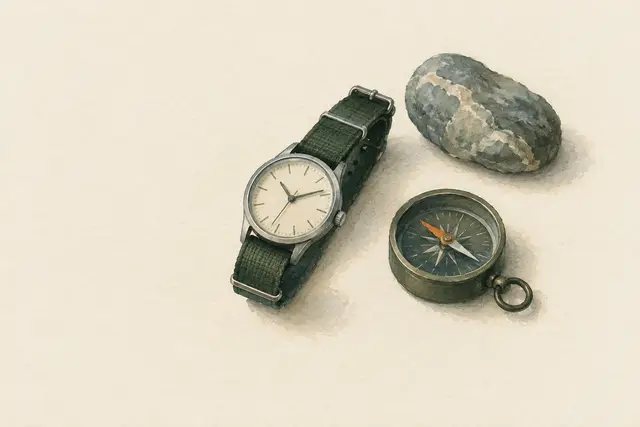
Estimating direction with a wristwatch (very imprecise)
With an analogue watch and the sun you can estimate a north–south line. The method is well known but crude: time zones, daylight saving, season and latitude distort it considerably, especially around midday and near the equator. Use it only as a makeshift.
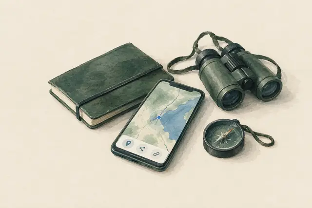
Reading and sharing your location: coordinates, apps, description
In an emergency rescuers need to know where you are. Smartphones show coordinates even without a data connection, many countries transmit location automatically during an emergency call, and location apps can share positions as coordinates, a link or a code. A description with terrain features always helps as well.
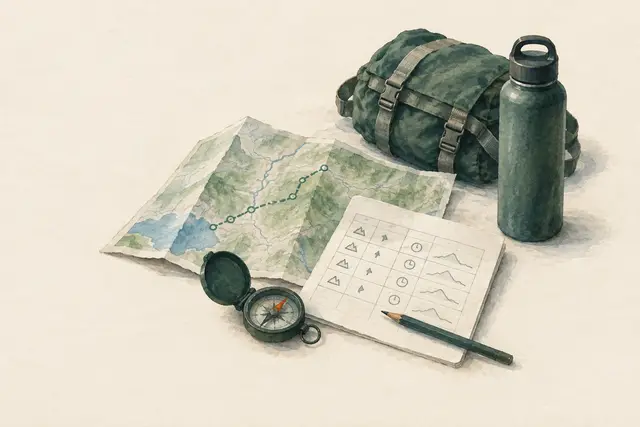
Making a route card (leg plan)
A route card breaks the route into short legs between unambiguous points and notes for each: direction, distance, height gain, estimated time and an escape option. It forces preparation at home, helps on the way in poor visibility and can serve trusted contacts as part of the trip plan.
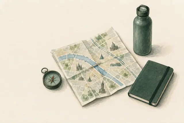
Finding your way in a city without a phone
During a power cut, with a dead battery or a network failure, the navigation app is gone. In cities, street signs, house numbers, stop maps, prominent buildings, rivers and railway lines help – as does a city map printed or bought in advance, marked with meeting points and key addresses.
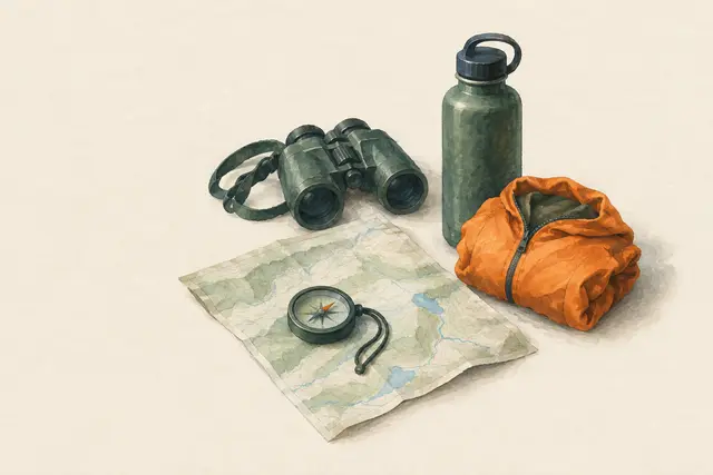
Navigating as a group and staying together
Groups get lost in their own way: everyone relies on one person, nobody checks, and someone goes missing at a junction. Clear roles (navigator, back marker), waiting at every junction, regular head counts and joint decisions when unsure prevent this.
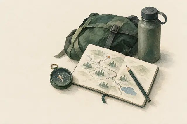
Without a map: drawing a sketch map and looking back
Without a map – on a short detour, when an app has failed or in an unfamiliar area – a sketch map kept as you go helps: direction, approximate time and prominent points at every junction. If you also turn around regularly and memorise the way back, you can return safely.
Planned topics (4)
- Route planning
- Trail markings
- Navigation without devices
- Reporting your location