Taking and following a bearing with a baseplate compass
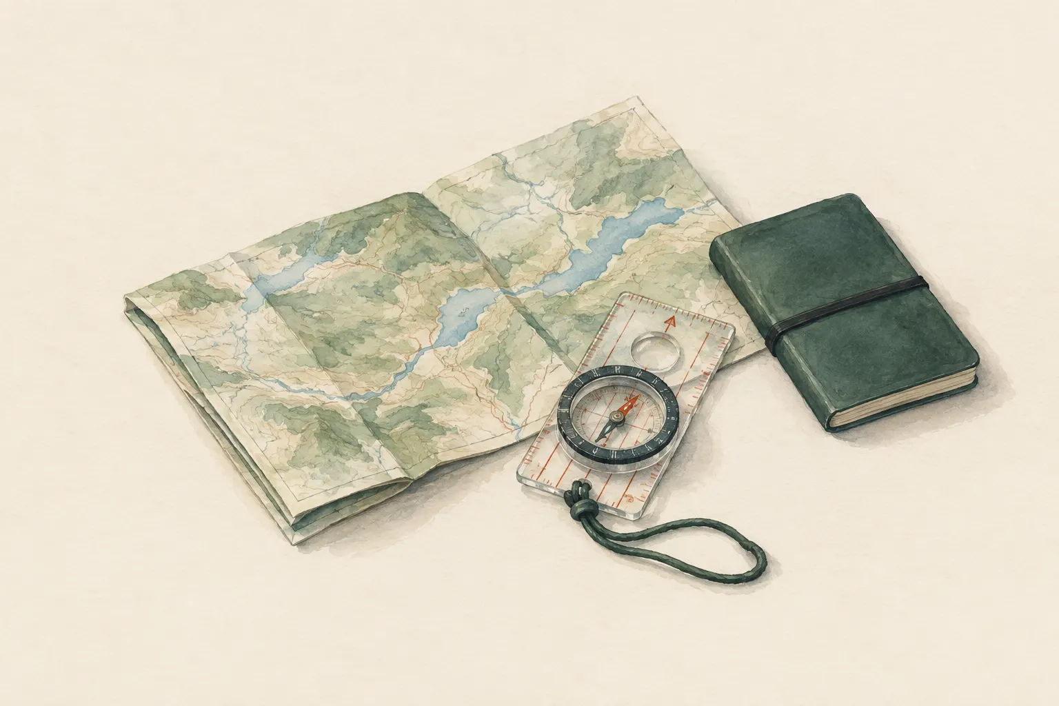
With a map and a baseplate compass you can determine the direction to a destination (a bearing) and hold it in the field – even in fog or forest. What matters is steady handling, distance from metal, and declination, whose value you look up on your own map.
- A few minutes per bearing; practice in familiar terrain recommended
Explained simply
Inside a compass there is a small magnetic needle. The Earth itself is like a huge, weak magnet, and the needle turns so that its red end points roughly north. Because the needle always points that way, however you turn, you can use it as a fixed anchor.
A 'bearing' is a direction written as a number, measured around a circle from 0 to 360 degrees. North is 0, east 90, south 180, west 270. On the map you measure which direction your destination lies in, set that number on the compass – and outside, the arrow on the compass plate shows you the way, even in fog.
The most important safety point: the compass only shows the direction, not whether it is safe to walk there. If a rock face, a river or a steep slope is in the way, you go around it. And keep the compass away from phones, metal and magnets – they pull the needle off course.
How it works
A baseplate compass has three parts that work together: a transparent baseplate with a ruler and a direction-of-travel arrow, a rotating liquid-filled housing with a degree ring and parallel orienting lines, and the magnetic needle inside. The liquid calms the needle so that it does not keep trembling back and forth.
On the map you use the compass as a protractor. You lay the edge of the plate from your position to the destination and turn the housing until its orienting lines are parallel to the map's north–south lines. The needle plays no part in this. You can now read the direction as a number on the degree ring.
Outside, you turn with the compass in front of your belly until the red end of the needle sits exactly in the housing's orienting arrow. At that moment the direction arrow on the plate points exactly in the direction you measured on the map. Because the needle points to magnetic north and the map is aligned to a slightly different north, a correction may be needed – declination, whose value is printed on your map.
What really matters
Hold the compass level, otherwise the needle drags and sticks. Hold it steady in front of your body and turn your whole body, not just your wrist. Make sure the needle sits with its red end in the orienting arrow – a very common mistake is to line it up with the white south end. Then you walk in exactly the opposite direction.
Keep away from anything magnetic or carrying current: phone, torch, knife, magnetic clasps on jackets or map cases, cars, fences, power lines. Even small objects close to the compass can noticeably deflect the needle.
Do not stare at the needle while walking. Pick a distinctive point in the arrow's direction – a striking tree, a rock – walk to it, and from there find the next one. You walk straighter that way and can watch the ground in front of you.
Small errors, big effect
An angle error grows with every step. One degree off puts you about 17 metres beside your target after one kilometre; at five degrees it is almost 90 metres. In forest or fog that can be enough to walk past a hut without seeing it.
That is why experienced navigators always combine a bearing with other clues: how far have I walked? Which terrain features should be appearing now – a stream, the foot of a slope, a clearing? If these features fail to appear, they stop and reassess instead of simply walking on.
A useful technique is aiming off: if your destination lies on a long stream or path, you deliberately aim a little to one side. When you then hit the stream, you know exactly which way to turn.
Safety: what to watch out for
A bearing is a straight line – the terrain is not. Never follow it stubbornly over cliffs, through water, across avalanche slopes or into gorges. Go around and then pick up the bearing again. If there is no safe way, turning back is the right decision.
A compass needs a known starting point. If you have no idea where you are, it can still show you a direction, but it cannot tell you whether that direction leads to your destination. In that situation the STOP rule comes first: stop, think, observe, plan.
Near the magnetic poles and in places with strongly iron-rich rock the compass becomes unreliable. For most hiking areas this is not an issue, but it is good to know if the needle behaves strangely.
How to practise it
Practise first on a field or in a park you know. Set a number, for example 90 degrees, and walk 50 paces in that direction. Then set 210 and walk another 50 paces, then 330 and 50 paces again. If you did everything right, you will be roughly back where you started – a triangle.
Then practise with a map: choose a point on the map that you can see, measure the direction and check whether the direction arrow outside really points at it. Try the back bearing too: to go back, turn until the red end of the needle sits in the south part of the housing, without changing the setting.
A compass is light, robust and needs no battery. A simple model with a rotating housing and a ruler is perfectly adequate for almost all hikes.
Step by step
Line up the compass between start and destination
Place the edge of the baseplate on the map so that it connects your position and the destination, with the direction-of-travel arrow pointing towards the destination.
- 1
Line up the compass between start and destination
Place the edge of the baseplate on the map so that it connects your position and the destination, with the direction-of-travel arrow pointing towards the destination.
- 2
Turn the housing to map north
Turn the housing until its orienting lines are parallel to the map's north–south lines and the housing's north arrow points to the top of the map (north). Ignore the needle for this step.
- 3
Apply declination
Look up the declination on your map. If it matters for the accuracy you need, correct the set value in the direction stated there – or use the adjustment screw if your compass has one.
Check the value and direction of the correction on the map; they change with place and year.
- 4
Turn yourself with the compass
Hold the compass level in front of your body, direction arrow pointing forward. Turn until the red (north) end of the needle sits exactly in the housing's north arrow.
- 5
Sight a landmark and walk
Pick a distinctive point in the arrow's direction (a tree, a rock), walk to it, and from there sight the next one. This way you do not have to look at the compass constantly.
- 6
Monitor distance and progress
Estimate the distance covered (time or pace counting) and check for expected terrain features. If they do not appear, stop and reassess.
Common mistakes
- Direction arrow pointing away from the destination during map work
- Housing set 180° wrong (needle aligned with its south end)
- Holding the compass tilted or next to metal
- Ignoring declination although the map shows it to be significant
- Watching only the needle instead of landmarks
Quick view
Materials
Baseplate compass
Metal, magnets and electronics nearby deflect the needle.
Bubbles in the capsule or a sluggish needle indicate a defect.
Topographic map
Check the publication date – paths and buildings may have changed.
Protect from wet (map case or bag).
Suitable for
- Navigation in fog, forest or trackless terrain
- Checking a direction when paths are unclear
- Backup when GPS fails
Not suitable for
- Straight lines through dangerous terrain (cliffs, water, avalanche slopes)
- Near vehicles, power lines or strong magnets
Prerequisites
- Basic map reading
- A known position on the map
Safety
- A bearing shows only the direction, not whether the direct line is passable. Go around obstacles and then pick up the bearing again; never follow it stubbornly into steep terrain.
- Metal objects, phones, magnetic clasps and power lines can noticeably deflect the needle. Keep the compass away from them.
- Declination – the angle between true or grid north and magnetic north – varies by place and year. Check the value on your map or in a current source; do not rely on memory.
How it works
The magnetic needle aligns with the Earth's magnetic field. On the map you measure the angle between the north lines and the direction to the destination; you set this angle on the rotating housing. In the field you turn until the needle sits in the housing's north marker – then the direction-of-travel arrow points at the destination. Because magnetic north and map north do not match exactly, declination is applied where relevant.
Advantages
- Works without power
- Robust and light
- Reliable in poor visibility
Disadvantages
- Requires practice and a known starting point
- Susceptible to metal and electronics
- Small angle errors grow with distance
Deep knowledge
Background
The baseplate compass with a rotating, liquid-filled housing is the standard tool for map navigation in hiking, mountaineering and orienteering. It combines protractor, ruler and magnetic compass in one device.
Declination changes over the years because the Earth's magnetic field shifts; maps therefore usually state a value with a reference year. Manuals stress that bearings must be combined with observation of the terrain.
Variants
- Back bearing
- To return the same way, follow the opposite direction: turn so that the red end of the needle sits in the south part of the housing, without changing the setting.
- Aiming off
- If the destination lies on a long line feature (stream, road), aim deliberately slightly to one side. When you reach the line, you then know which way to turn.
Common mistakes
- Direction arrow pointing away from the destination during map work
- Housing set 180° wrong (needle aligned with its south end)
- Holding the compass tilted or next to metal
- Ignoring declination although the map shows it to be significant
- Watching only the needle instead of landmarks
Limits and risks
- No declination figures – they depend on place and time
- Accuracy limited by handling and terrain
- Unusable near the magnetic poles
Sources
Headquarters, Department of the Army (USA) (2001): FM 3-25.26 Map Reading and Land Navigation
Compass use, bearings and declination
The Mountaineers Books (2017): Mountaineering: The Freedom of the Hills, 9th edition
Compass navigation in the field