Navigating with phone and GPS: offline maps, battery, limits
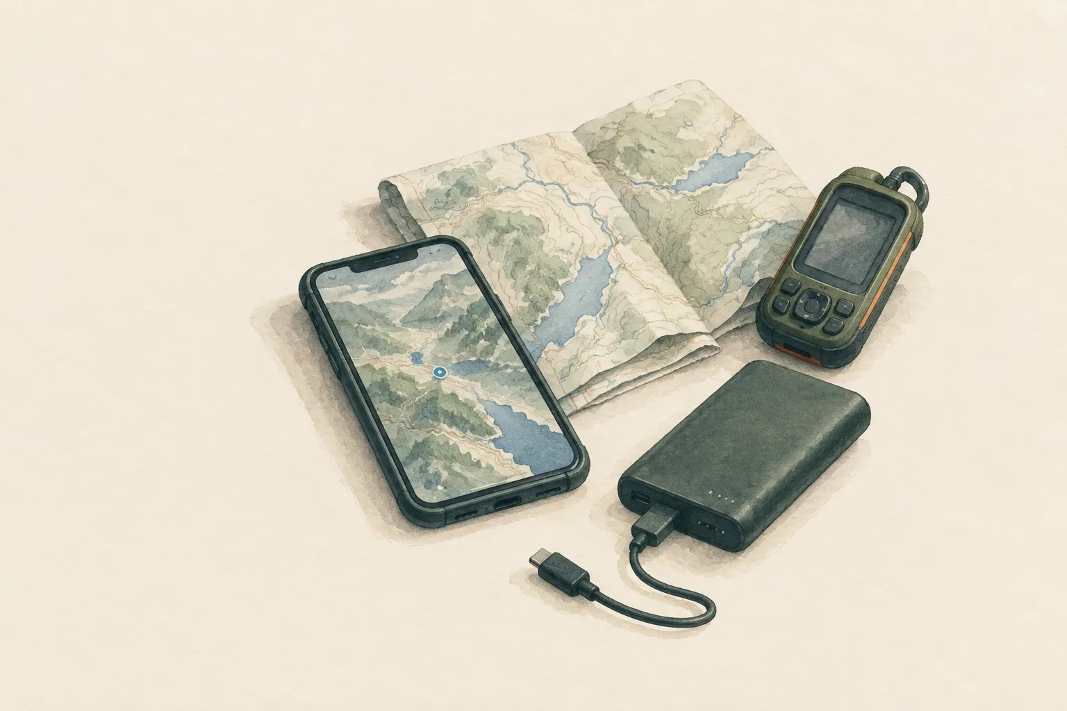
Smartphones and GPS units usually show your position reliably, even without mobile signal – provided maps were saved offline beforehand and the battery lasts. Cold, continuous use and lack of backup power are the most common weak points. A paper map as backup remains sensible.
- Preparation at home 15–30 minutes
Explained simply
High above the Earth, many satellites circle and constantly send out signals carrying the exact time. Your phone listens to several of these signals at once and works out how far it is from each satellite. From that it calculates where you are – a bit like guessing where you are in a room from how loud several voices sound. The phone does not need a mobile network for this.
The map on which your dot is shown, however, comes from the internet. Without signal the phone cannot load new pieces of map. So before the trip you save the map 'offline' on the phone – then it is there even in a dead zone.
The most important safety point: when the battery is flat, you can neither navigate nor call for help. So save power, take a power bank and carry a paper map as a backup.
How it works
GPS is really just one of several satellite systems; together they are called GNSS. They include, for example, the American GPS and the European Galileo. Modern phones usually receive several systems at once, which can improve positioning in difficult terrain. The receiver needs a clear view of as much sky as possible.
The mobile network only helps the phone get started faster: with signal it gets extra information that lets it find the satellites more quickly. Without signal the first fix can therefore take a little longer – but it still works. On most devices satellite positioning stays active in airplane mode, too.
What does not work without signal: loading new map sections, calculating routes online, fetching weather. So preparation includes saving the whole trip area plus a generous margin around it as an offline map – and testing it beforehand in airplane mode.
Battery: the biggest weak point
The bright screen is usually the biggest power drain. Someone who keeps the map open all the time empties the battery much faster than someone who just checks briefly at junctions. Radios that keep searching for signal cost extra energy too – especially in areas with poor reception.
Cold is the second big enemy. Batteries deliver less power when they are cold. A cold phone can suddenly switch off even though it showed a decent charge a moment ago. So carry it close to your body in an inside pocket; it can often be switched on again once it has warmed up.
There are no fixed figures for battery life – it depends heavily on the device, the age of the battery, the app and the weather. Instead, set your own limit, for example a charge level below which the phone is only for emergency calls, and plan to turn back before you reach that limit.
Limits of the technology
The position can be inaccurate when little sky is visible: in narrow valleys, right next to rock walls, in dense, wet forest or between tall buildings. The dot then sometimes jumps around or lies beside the path. The accuracy shown is not always correct.
Apps often calculate routes automatically. In doing so they can suggest paths that are closed, overgrown, far too difficult or dangerous. Map data in apps can contain errors, especially for small paths. So check suggested routes on the map before the trip: how steep does it get? Are there rocks, streams, glaciers?
And finally, the technology tempts people to forget how to read a map. Anyone who just follows the dot often does not know where they really are in the terrain – and is suddenly left with no orientation at all when the battery dies.
Safety: what to watch out for
A flat battery takes away navigation and the emergency call at the same time. So: start fully charged, pack a power bank with a matching cable, save power and set an emergency reserve. On long or remote trips the phone should never be your only means of navigation – a paper map and a compass are light and need no power.
Practise at home where your app shows the coordinates. In an emergency you can then read them out calmly. In many countries phones also send their location to the emergency centre automatically during an emergency call – but do not rely on that alone; state your position anyway. The local emergency number (112 in the EU) can often be reached even when your own provider has no coverage but another network is available.
A dedicated GPS unit with replaceable batteries is often more robust, usable with gloves, and keeps the phone free for emergency calls. The same applies: load maps beforehand and practise using it beforehand.
How to prepare
The evening before the trip: load the offline map for the whole area, switch on airplane mode and check that the map still displays. Fully charge phone and power bank, pack the cable. Look at the route once on the map and compare it with the terrain (contour lines!).
On the way: dim the screen, close unneeded apps, use airplane mode when you do not need signal, and only look at the map at important points. In the cold, put the phone in an inside pocket. Recording your route (a track) can help you find the same way back – but it costs power too.
Step by step
Download offline maps
Before the trip, download maps of the whole area plus surroundings and check in airplane mode that they display.
- 1
Download offline maps
Before the trip, download maps of the whole area plus surroundings and check in airplane mode that they display.
- 2
Charge and pack a reserve
Fully charge phone and power bank and take the matching cable.
- 3
Save energy
Dim the screen, switch off unneeded apps and radios, use airplane mode when you do not need the network (satellite positioning usually still works), and only look at the map when needed.
- 4
Keep the battery warm
In cold weather carry the device close to your body in an inside pocket. Cold batteries can shut down suddenly even though charge is still shown.
- 5
Know how to find coordinates
Practise at home where the app shows your coordinates so you can read them out quickly in an emergency.
- 6
Set an emergency reserve
Decide on a battery level below which the phone is used only for emergency calls, and plan to turn back before you reach it.
Common mistakes
- No offline maps, relying on mobile data
- Continuous navigation with a bright screen
- Phone in an outer pocket in the cold
- No paper map as backup
- Following an app route without checking it
Quick view
Materials
Mobile phone
The battery drains quickly in cold and with continuous screen and GPS use.
Do not plan on it as your only means of navigation or emergency calls.
Power bank
With a matching cable
Charge fully before the trip.
Do not use damaged or swollen batteries (fire risk).
GPS unit
Carry spare batteries.
Can be inaccurate in narrow valleys, gorges and dense forest.
Topographic map
As a backup
Check the publication date – paths and buildings may have changed.
Protect from wet (map case or bag).
Suitable for
- Finding your position on the move
- Passing on coordinates in an emergency
- Recording and retracing your route
Not suitable for
- The only means of navigation on long or remote trips
- Prolonged use in severe cold without battery protection
- Blindly following app routes in alpine terrain
Prerequisites
- Offline maps of the area downloaded before the trip
- Fully charged battery and power bank
- Basic familiarity with the app used
Safety
- Apps sometimes suggest routes over unsuitable, closed or dangerous paths. Check the route for plausibility and terrain beforehand.
- The displayed position can be inaccurate in narrow valleys, beside rock walls, in dense forest or between tall buildings.
How it works
The satellite receiver in the device calculates the position from satellite signals; no mobile network is needed for that. Without a network, however, no new map data can be loaded – so save maps offline beforehand. The screen, radio connections and cold are the biggest drains on energy.
Advantages
- Very accurate positioning in open terrain
- Works without a mobile network
- Coordinates immediately available for rescuers
Disadvantages
- Depends on battery and technology
- Sensitive to cold and wet
- Tempts people to skip map skills
Deep knowledge
Background
Satellite navigation (GNSS, e.g. GPS or Galileo) is built into almost every smartphone today. Many emergency calls from the mountains are supported with coordinates from the phone, which can considerably shorten a search.
At the same time, rescue services and textbooks note that flat batteries and missing offline maps are common causes of navigation trouble. So the rule is: technology yes, but with a backup and an energy reserve.
Variants
- Dedicated GPS unit
- Outdoor GPS units are often more robust, usable with gloves and run on replaceable batteries. This keeps the phone free for emergency calls.
Common mistakes
- No offline maps, relying on mobile data
- Continuous navigation with a bright screen
- Phone in an outer pocket in the cold
- No paper map as backup
- Following an app route without checking it
Limits and risks
- No battery-life figures – they depend heavily on device and conditions
- Accuracy is not always displayed correctly
- Map data in apps can contain errors
Material alternatives
Derived from material properties: a substitute must have all relevant properties. Observe the notes on the substitute.
- Mobile phone
- Headlamp / flashlight, Battery lantern / LED light
Results come exclusively from structured entries. No improvised instructions are generated.
Sources
The Mountaineers Books (2017): Mountaineering: The Freedom of the Hills, 9th edition
GPS navigation and its limits in the field
Headquarters, Department of the Army (USA) (2001): FM 3-25.26 Map Reading and Land Navigation
Basics of GPS use alongside map and compass