Reading contours: ridges, valleys, saddles, steepness
Contour lines show the shape of the land. Recognising ridges, valleys, saddles, knolls and steep steps lets you orient yourself without paths, choose safer routes and read your position from the landform.
- A matter of practice; best with a map in familiar terrain
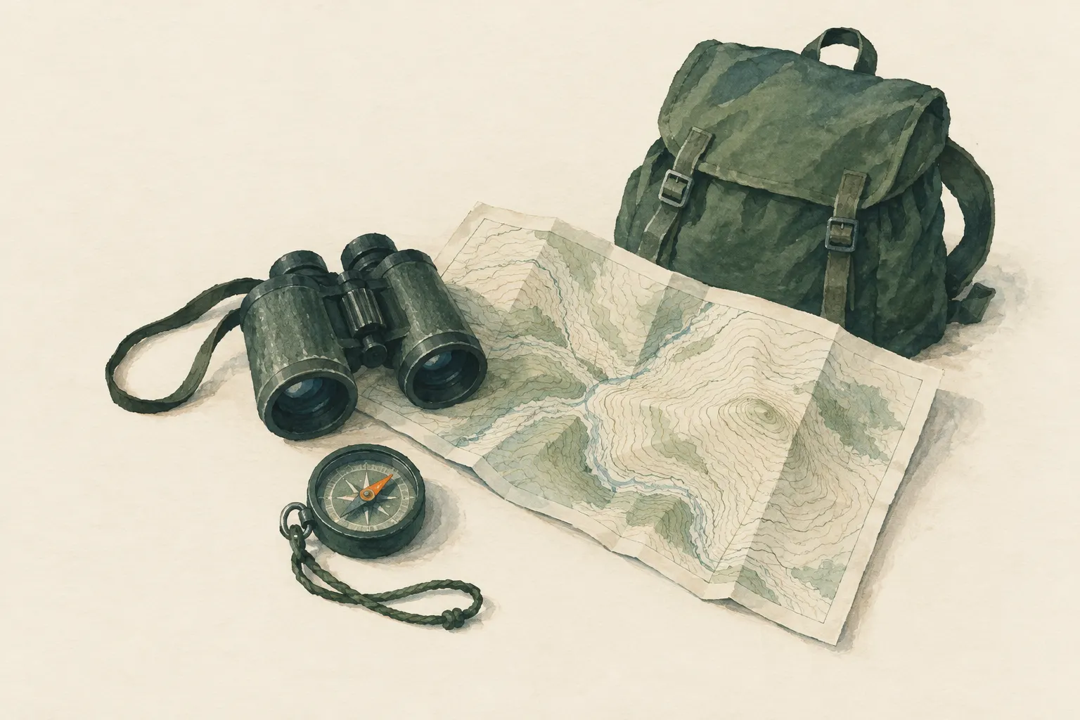
Explained simply
Imagine a mountain standing in a giant bathtub that slowly fills up. Every ten centimetres the water rises, you draw the waterline on the mountain with a pen. Seen from above, you then see lots of rings – those are the contour lines. Where the mountain is steep, the rings lie close together. Where it is gentle, they lie far apart.
From the shape of the lines you can read the terrain. A valley looks like a 'V' whose point faces uphill – towards where the stream comes from. A ridge looks similar, but the point faces downhill. A saddle, the lowest point between two summits, looks like an hourglass. Small closed rings are hilltops.
The most important safety point: not everything shows on the map. A small rock step can 'disappear' between two lines. So never climb down steep places when you cannot see what lies below.
How it works
Each contour line joins points of equal height. The height difference from one line to the next is called the contour interval and is stated in the map margin; on hiking maps, for example, 10 or 20 metres are common, but it varies from map to map. Often every fifth line is printed thicker (index contour) and carries a height value.
The spacing of the lines shows the steepness. When they bunch together, it is steep; when they are far apart, it is gentle. When they almost merge into a band, there is usually a steep wall or drop – many maps also show rock with special symbols or shading.
To tell uphill from downhill, use height values, summit points with heights, lakes and streams. Water always flows downhill. So where a stream cuts a V shape into the lines, the point of the V faces uphill, against the flow.
The most important landforms
Valley or gully: the lines form a V or U whose point faces uphill. A stream often flows in it. Ridge or spur: the lines also form a V or U, but the point faces downhill. Ridges are often good, open lines for going up and down; gullies, by contrast, can be steep, wet and exposed to rockfall.
Saddle: the lowest point between two high points. On the map it looks like an hourglass or a butterfly – two sets of rings between which the lines bend outwards. Saddles are often natural crossings where paths lead from one valley to the next.
Knoll: a small closed ring, or several rings inside one another, shows a rise. Depression: closed rings with small tick marks pointing inwards mark a hollow without an outlet. Steep step: the lines bunch closely over a short distance and then spread out again.
Safety: what to watch out for
Rock steps and drops lower than the contour interval can vanish completely between two contour lines. So a spot that looks even on the map can contain a step you cannot get down. Never assume the ground between two lines is even.
A convex slope – one that gets steeper and steeper further down – hides what lies below it. From above it looks harmless, and only when it is too late do you see the edge. So never descend steep sections 'blind'. If you cannot see how it continues, go back or look for a more open route.
The map also says nothing about whether a particular spot is passable – wet rock, loose scree or snow are not drawn in. Contour lines help you choose a safe route, but they do not replace your own eyes and your willingness to turn back.
Typical situations
Route choice: compare two possible routes by their line spacing. The one using gentler sections is usually safer and often faster, even if it looks longer on the map. Plan routes along gentler sections where possible, and over ridges rather than through gullies.
Finding your position: the landform often reveals more than paths, because paths change while ridges and valleys remain. Are you on a ridge, in a saddle or on a slope? With the compass you can even determine the slope's aspect: point it down the fall line of the slope you are standing on – the direction a ball would roll down – and look on the map for slopes that fall away in the same direction. That narrows down your position a lot.
Navigating without paths: in trackless terrain you can use landforms as handrails – up a ridge, along a valley floor, to a saddle. Experienced navigators often rely more on the terrain than on paths.
How to practise it
Take a map on a hike in familiar terrain and stop at distinctive places: where am I on the map right now? Am I standing on a ridge or in a hollow? Is it getting steeper or gentler ahead? Compare what you see with the lines.
At home you can build a simple model: shape a small mountain out of modelling clay and slice it with a thread into layers of equal thickness. Lay the slices on paper one after another and trace their edges – and you have your own contour map. Children immediately understand this way why close lines mean steep.
Step by step
Read the contour interval
The map margin states the height difference between lines. Index contours (printed thicker) often carry height values.
- 1
Read the contour interval
The map margin states the height difference between lines. Index contours (printed thicker) often carry height values.
- 2
Work out uphill and downhill
Use height values, summit points, lakes and streams: water always flows downhill, so V shapes at streams point uphill.
- 3
Name the landforms
Find ridges, valleys, saddles, knolls and steep slopes on the map and in the landscape, and match them to each other.
- 4
Judge steepness
Compare line spacing: where they bunch up, it gets steep. Plan routes along gentler sections where possible.
- 5
Use slope aspect
Point the compass down the fall line of the slope you are standing on. Compare this direction with slopes on the map – it narrows down your position.
Common mistakes
- Confusing ridge and valley
- Ignoring the contour interval
- Assuming the ground between lines is even
- Judging gradient by straight-line distance instead of line spacing
Quick view
Materials
Topographic map
Check the publication date – paths and buildings may have changed.
Protect from wet (map case or bag).
Suitable for
- Off-trail navigation
- Route choice in mountains
- Determining position from landforms
Not suitable for
- Small steps between two contours – they often do not show
- Very flat terrain with few lines
Prerequisites
- Basic map reading
- Finding the contour interval on the map
Safety
- Rock steps and drops smaller than the contour interval can disappear between two lines. A convex slope also hides what lies below it. Never descend steep sections 'blind'.
How it works
Each contour line connects points of equal height. Lines close together mean steep; far apart means gentle. In valleys and gullies the lines form a V or U pointing uphill (against the flow); on ridges and spurs they point downhill. A saddle is the lowest point between two high points and looks like an hourglass; closed rings are knolls or (with tick marks) depressions.
Advantages
- Landforms barely change – more reliable than paths
- Works without a compass
- Helps choose safe routes
Disadvantages
- Needs practice and spatial imagination
- Small details are missing
Deep knowledge
Background
Contour lines are the central element of topographic maps; official mapping agencies explain line types and symbols in their legends.
Experienced navigators often rely more on landform than on paths, because paths change while ridges and valleys remain.
Variants
- Hill shading and rock drawing
- Many maps supplement contours with shading and rock symbols that also mark steep ground.
Common mistakes
- Confusing ridge and valley
- Ignoring the contour interval
- Assuming the ground between lines is even
- Judging gradient by straight-line distance instead of line spacing
Limits and risks
- No statement on whether specific spots are passable
- Presentation differs between maps
Sources
U.S. Geological Survey (USGS): Topographic Map Symbols
Contour lines and map symbols
Headquarters, Department of the Army (USA) (2001): FM 3-25.26 Map Reading and Land Navigation
Recognising terrain features from contours