Understanding weather fronts: warm front and cold front
A weather front is the boundary between two air masses of different temperature and humidity. At a warm front, warm air slides slowly over cold air – it often announces itself hours ahead with high, thin clouds and brings long-lasting rain. At a cold front, cold air pushes under warm air – the weather changes quickly, with showers, gusts and sometimes thunderstorms. Knowing the signs helps you understand forecasts better and plan more cautiously.
- 10 minutes to read
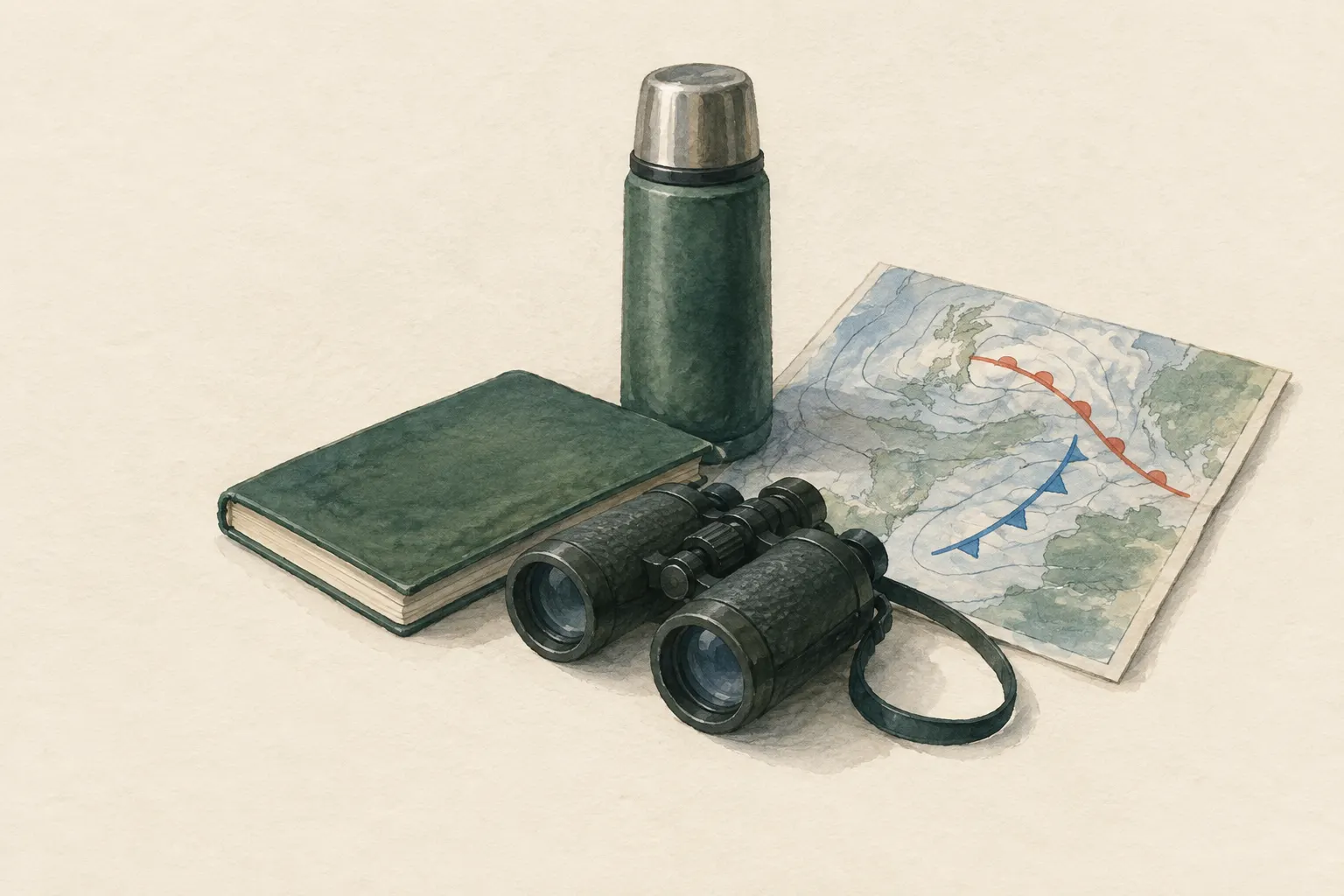
Explained simply
The air around us is not the same everywhere. There are huge “parcels” of air as big as whole countries: some warm and moist, others cold and dry. Where two such parcels meet, there is a weather front. That is where the weather changes.
Warm air is lighter than cold air, just as oil floats on top of water. At a warm front, warm air slowly slides up over the cold air, like on a gentle ramp. You can often see it coming long before from high, thin feathery clouds, and afterwards it rains steadily for a long time. At a cold front, cold air pushes under the warm air like a wedge and forces it up steeply. Then everything happens fast: thick clouds, heavy showers, gusts of wind, sometimes thunderstorms – and afterwards it gets cooler and often clear.
The most important point: your own observations of the sky are a good addition, but no substitute for the forecast. Before every trip, check the forecast and the severe-weather warnings from the weather service.
How it works
An air mass forms when air sits over a region for a long time and takes on its characteristics: over warm seas it becomes warm and moist, over snow-covered land cold and dry. When such an air mass moves on, it takes its characteristics with it. The boundary zone with another air mass is called a front.
At every front essentially the same thing happens: the warmer, lighter air is lifted. As it rises it expands, because air pressure is lower higher up, and cools as it does so. Cold air can hold less water vapour than warm air. The surplus vapour condenses into tiny droplets or ice crystals – clouds form, and eventually precipitation.
The difference between warm and cold fronts lies in the slope of the boundary. At a warm front it is gentle, the air rises slowly over a long distance, and extensive layered clouds form. At a cold front it is steep, the air is lifted quickly and forcefully, and tall heaped clouds grow, up to thunderclouds.
Reading the signs in the sky
A warm front often announces itself many hours ahead. First, high, wispy feathery clouds (cirrus) appear. Then they thicken into a milky veil through which the sun or moon sometimes shines with a ring, known as a halo. After that the cloud base lowers, turns grey and dense, and steady, long-lasting rain begins. Air pressure usually falls steadily during this time.
A cold front is shorter and more violent. Tall, sharply outlined heaped clouds approach, the sky darkens, the wind freshens with gusts and changes direction. Heavy showers follow, sometimes thunderstorms or hail. After it passes it becomes noticeably cooler, air pressure rises again, and it often clears with good visibility.
A barometer – or the altimeter on a watch, as long as you stay in the same place – can show falling air pressure. A clear, sustained drop in pressure is a sign that the weather is getting worse. It does not, however, tell you exactly when or how badly.
When it makes sense – and when not
Knowledge of fronts helps above all with understanding forecasts and weather maps. If the forecast says “cold front passing in the afternoon”, you know to expect gusts, showers and possibly thunderstorms – and that it will be cooler afterwards. On the move, you can tell whether the forecast's timing is right or whether the weather is arriving earlier.
The frontal model is a simplification, though. Mountains, coasts and lakes create their own local weather that can mask the typical signs. In the mountains, thunderstorms and fog can develop very quickly even without a recognisable front. Your own observation therefore never replaces the official forecast and the weather services' warnings.
Safety: what to watch out for
Before every trip, check the current forecast and the severe-weather warnings from the national weather service, ideally on the same day and not just the evening before. In the mountains, set a fixed turnaround time and stick to it, even if the goal seems close.
Approaching high cloud is no reason to panic, but it is a reason to pay attention and review your plan. When dark heaped clouds approach, the wind freshens and you hear the first thunder, it is time to seek shelter – details are in the entry on lightning safety outdoors.
Good to know
Cold fronts often move faster than warm fronts and eventually catch up with them. The warm air between them is then lifted completely off the ground. This is called an occlusion; the weather there shows a mix of features of both types of front.
Many old weather sayings describe exactly these sequences, for example that a ring around the moon can announce rain. Some sayings are right more often, others hardly at all. They are nice to know, but not reliable enough to base a safety decision on.
Quick view
Suitable for
- Trip planning
- Understanding forecasts and weather maps
- Observation on the move as a supplement to the forecast
Not suitable for
- A substitute for official forecasts and warnings
Prerequisites
- None
Safety
- Your own weather observation supplements the official forecast but does not replace it. Before trips, check the forecast and severe-weather warnings from the national weather service.
- In the mountains the weather can change locally and very quickly, even without a recognisable front.
How it works
Warm air is lighter than cold. When two air masses meet, the warmer one is lifted. As it rises it cools, its water vapour condenses, and clouds and precipitation form. Warm front: the warm air slides up a gently sloping boundary over the cold air. The clouds therefore appear well ahead of the front – first high feathery clouds (cirrus), then a thickening veil, finally a low grey layer with steady rain. Air pressure usually falls steadily. Cold front: the heavy cold air pushes in like a wedge under the warm air and lifts it steeply. Towering cumulus clouds form, up to thunderclouds (cumulonimbus). Typical are heavy showers, gusts, a shift in wind direction and a drop in temperature; afterwards it often clears.
Advantages
- Helps to interpret forecasts
- Early clues on the move
Disadvantages
- A simplified model – real weather is more complex
- Local effects (mountains, coast) can mask the signs
Deep knowledge
Background
The frontal model is a cornerstone of meteorology. Weather services such as the US National Weather Service (learning resource “JetStream”) and Germany's Deutscher Wetterdienst (weather glossary) explain warm and cold fronts with the cloud and weather sequences described here.
With weather apps and radar images, fronts are easy to track today. Knowing their signs remains useful when there is no network or the forecast's timing is off.
Variants
- Occlusion
- Cold fronts often move faster than warm fronts and catch up with them. The warm air is then lifted off the ground – an occlusion with mixed weather features.
Common mistakes
- Dismissing approaching high cloud as harmless
- Relying only on the previous day's forecast
- Ignoring falling air pressure
- Planning a mountain day without a turnaround time
Limits and risks
- No forecasting rules with timings
- No substitute for weather-service warnings
Sources
U.S. National Weather Service (NOAA): JetStream – An Online School for Weather
Air masses, warm and cold fronts, cloud sequences
Deutscher Wetterdienst (DWD): Wetter- und Klimalexikon
Terms warm front, cold front, occlusion