How a compass works: Earth's magnetic field and declination
A compass needle is a small magnet that aligns with the field lines of Earth's magnetic field. It points to magnetic north, not geographic north. The angle between them – declination or variation – depends on location and changes slowly over the years. Iron, magnets and electronics nearby deflect the needle.
- 10 minutes reading
Explained simply
The Earth is like a huge, weak magnet. Around it there is an invisible magnetic field – imagine invisible lines running from one end of the Earth to the other. A compass needle is a tiny magnet that can turn freely. It turns until it lies along these lines and then points roughly north.
But only roughly: the needle points to the magnetic north pole, and that is not exactly at the geographic North Pole, the point the Earth spins around. The difference between the two directions is called declination. It is different at every place and changes slowly over the years. That is why good hiking maps state how big the declination is and which year the value applies to.
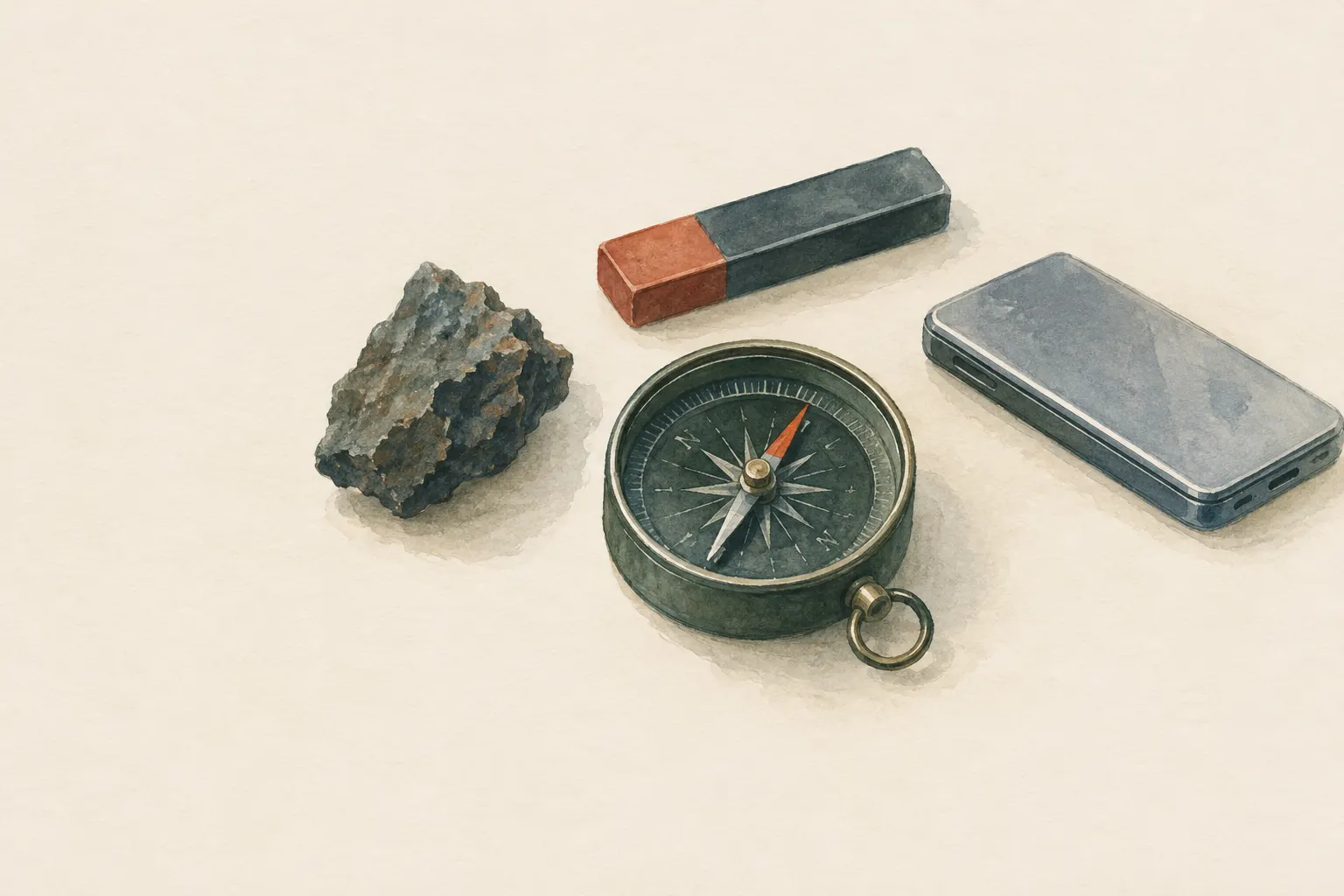
The most important point: iron, magnets and electronics deflect the needle. When taking a bearing, keep your phone, headlamp, knife and cars away from the compass, otherwise it will show you the wrong direction.
How it works
Earth's magnetic field is created deep inside, in the liquid outer core. Molten, iron-rich metal moves there, and these flows generate electric currents and with them a magnetic field. To a good approximation the Earth behaves like a large bar magnet whose axis is tilted slightly relative to the Earth's axis of rotation.
A magnet always has two poles, and opposite poles attract. The compass needle is magnetised and is turned by the field until it lies along the field lines. A curious detail: because opposite poles attract, the Earth's pole in the north is, physically speaking, a magnetic south pole – it attracts the north end of the needle. In practice this makes no difference, and people still speak of the magnetic north pole.
The field lines do not run horizontally but are inclined to the Earth's surface; near the magnetic poles they point steeply downwards. This tilt is called inclination or dip. A freely suspended needle would therefore tip down at one end. Compass needles are thus balanced for particular world zones.
Declination: why north is not always north
On maps, north usually points to the geographic North Pole that the Earth spins around. The compass needle, by contrast, points along the local field lines, roughly towards the magnetic pole. The angle between the two directions is declination (also called variation). Depending on location, the needle points somewhat east or west of true north, and there are places where the difference is almost zero.
Because the flows in the Earth's core change, the magnetic pole wanders too, and declination changes slowly from year to year. That is why maps always give the year next to the value. With an old map you should check the current value, for example with an official calculator such as the one from the US agency NOAA, which computes the declination for a location from magnetic field models.
Small angles sound harmless but add up over distance. An error of just one degree means a sideways deviation of about 17 metres after one kilometre, and about 170 metres after ten kilometres. With a declination of several degrees, you can therefore clearly miss your target if you do not correct for it.
What really matters
Hold the compass level when taking a bearing so that the needle can swing freely and does not drag on the housing. Keep metal and electronics at a distance: phone, headlamp, knife, belt buckles, but also cars, fences, steel railings and power lines. Anyone taking a bearing next to a car can easily get a wrong direction.
The terrain itself can interfere too. Some rocks contain magnetic minerals and deflect the needle locally. If bearings at one spot seem odd, it helps to walk a few steps further and check again, or to compare the direction with terrain features on the map.
When travelling to other continents, it is worth checking which world zone the needle is balanced for. If it does not match, the needle can tilt because of the different inclination and drag. There are also compasses with needles suitable for several regions.
Typical situations
Phones and watches often have an electronic compass. It measures the magnetic field with small sensors and needs calibrating; cases with built-in magnets can disturb it. It is handy but depends on the battery. A classic compass works without power or network.
In thick fog, on plateaus without landmarks or in forest where you can hardly see far, the compass is particularly valuable. There, a lot depends on declination being correctly accounted for and no source of interference being nearby. How to take and transfer a bearing in practice is covered in the navigation entries.
How to practise it
Place your compass on a table and slowly move a phone, a bunch of keys or a knife towards it. You will see at what distance the needle starts to swing – a simple experiment that shows how much distance is needed. You can try the same outdoors next to a car or a metal fence.
Look up the declination and its year on your hiking map and compare the value with a current official calculator. Then practise on a familiar, safe route transferring a direction from the map to the terrain, once with and once without the correction, and see how far you miss the target.
Step by step
Look up declination
Take the current value for the location from the map (note the year) or an official calculator.
- 1
Look up declination
Take the current value for the location from the map (note the year) or an official calculator.
- 2
Apply the correction
Account for declination when transferring between map and terrain, or use a compass with adjustable declination.
- 3
Keep interference away
Hold the compass level and keep metal and electronics at a distance.
- 4
Mind the world zone
When travelling to other continents check whether the needle is balanced for the region, otherwise it may drag.
Common mistakes
- Using declination from an old map without checking
- Taking a bearing next to the car
- Holding a phone right next to the compass
- Holding the compass tilted
Quick view
Materials
Baseplate compass
Metal, magnets and electronics nearby deflect the needle.
Bubbles in the capsule or a sluggish needle indicate a defect.
Suitable for
- Understanding why bearings need correcting
- Recognising sources of error in taking bearings
Not suitable for
- Declination values for a specific place – use current maps or calculators for that
Prerequisites
- Basic map and compass concepts
Safety
- Phones, headlamps, knives, cars, fences or power lines can deflect the needle. Keep them away when taking a bearing.
How it works
Earth behaves approximately like a large bar magnet whose axis is tilted relative to the axis of rotation. A freely turning magnetic needle aligns with the horizontal component of the field lines. Because the magnetic pole and the geographic pole do not coincide and the field is irregular locally, the needle deviates from true north by different amounts depending on location. The field lines are also inclined to the Earth's surface (inclination); that is why many compass needles are balanced for specific world zones.
Advantages
- A compass works without power or network
Disadvantages
- Prone to interference from metal and electronics
- Declination changes
Deep knowledge
Background
Navigation manuals such as FM 3-25.26 explain the different norths and conversion between them. The US agency NOAA (NCEI) provides calculators that compute the current declination for a location from magnetic field models.
The physics of magnetism – dipole field, alignment of a magnetic moment – is standard material in physics textbooks.
Variants
- Phone compass
- Phones use electronic magnetic field sensors that need calibrating and can be disturbed by cases with magnets.
Common mistakes
- Using declination from an old map without checking
- Taking a bearing next to the car
- Holding a phone right next to the compass
- Holding the compass tilted
Limits and risks
- No declination values
- No complete compass training
Sources
Headquarters, Department of the Army (USA) (2001): FM 3-25.26 Map Reading and Land Navigation
North references and conversion
U.S. National Oceanic and Atmospheric Administration (NOAA), National Centers for Environmental Information (NCEI): Magnetic Field Calculators (declination calculator)
Current declination from magnetic field models
David Halliday, Robert Resnick, Jearl Walker – John Wiley & Sons: Fundamentals of Physics
Magnetic fields and magnetic dipoles