How GPS works – and where it fails
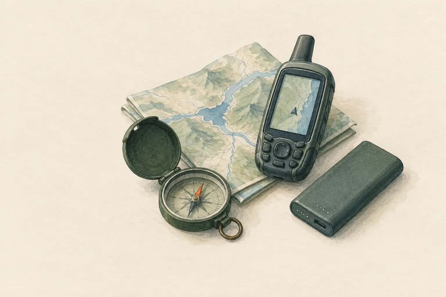
Satellite navigation measures how long radio signals from several satellites take to reach the receiver and calculates the position from that. Under open sky it is accurate to within a few metres. In gorges, between tall buildings, under dense forest and with a flat battery it becomes inaccurate or fails. GPS therefore does not replace a map, compass and battery planning.
- Reading time; practice with your own device
Explained simply
High above the Earth many satellites are circling. Each of them constantly calls out into space: “I am here, and right now it is exactly this time.” Your phone or GPS device listens to these calls. Because the radio signals take a tiny moment to reach you, the device can work out how far away each satellite is.
Imagine standing blindfolded in a square while several friends call out their names. If you know where each one stands and how far away each voice is, you can work out where you are yourself. That is exactly what the device does – only with at least four satellites and very precise clocks.
This works very well under open sky. In deep gorges, between tall buildings or under dense, wet foliage, however, the signals become weak or bounce off walls, and the display becomes inaccurate. And without battery the device shows nothing at all. That is why a paper map and a compass always belong in your rucksack.
How it works
The GPS satellites orbit at roughly 20,000 kilometres altitude. On board they carry atomic clocks that are extremely accurate. Each satellite continuously transmits where it is and what time its clock shows. The receiver compares the time stamp with the moment the signal arrives. Since radio waves travel at the speed of light – about 300,000 kilometres per second – the travel time gives the distance.
Knowing the distance to one satellite only tells you that you are somewhere on a huge sphere around it. With three satellites, three such spheres intersect and a single point is left. The fourth is needed because the clock in a phone is nowhere near as accurate as an atomic clock. The receiver simply calculates its own clock error as a fourth unknown.
A simple calculation shows how sensitive this is: an error of one millionth of a second corresponds to about 300 metres at the speed of light. That is why all the accuracy depends on precise clocks and clean, direct signals.
When it becomes inaccurate
The signals come from far away and are very weak at ground level. Rock, concrete, metal, the human body and wet foliage weaken them further. In a narrow gorge or a street canyon between high-rises the device sees only a thin strip of sky and therefore few satellites, which are also badly positioned in a line. The position then becomes uncertain.
Reflections are even more treacherous. If a signal bounces off a rock face or building, its path is longer than the direct one. The device thinks the satellite is farther away than it is, and the position often jumps by many metres. A typical result is a track that zigzags through blocks of houses although you walked straight ahead.
The altitude reading is usually less accurate than the horizontal position, because all the satellites are above you and none “measures” from below. For heights, the map, contour lines and a calibrated altimeter are more reliable. Many devices display an accuracy circle – it is the device's estimate, not a guarantee.
What really matters
For a good fix, go to an open spot, hold the device up and away from your body, and wait briefly until the display settles. After a long pause or in a new place the receiver sometimes takes longer for the first position. Phones fetch helper data over the mobile network and are then faster – but positioning itself also works without a network.
What is often missing without a network is the map. Many map apps load their maps continuously from the internet. So download the maps for your area before the trip. Otherwise you see a blue dot, but on an empty grey background.
Always check the display against the terrain: do the stream, the slope, the path junction fit? And note: the satellite position does not tell you which way you are facing. The arrow direction while standing still usually comes from a built-in magnetic sensor that can be disturbed by metal and electronics. A direction from GPS alone only results when you move.
Safety: what to watch out for
A device can fail at any time: flat battery, cold, wet, a fall onto rock, a software error. So the rule is: carry a paper map and compass and practise using them while everything still works. People who only follow the blue dot often do not notice where they actually are, and are suddenly without orientation when it fails.
Save energy wherever you can: dim the screen, use airplane mode with location still on, carry the device close to your body in the cold, and have a power bank with you. Check the battery level regularly, not only when it is already red.
In some regions satellite signals are deliberately jammed or spoofed. The device may then show a completely wrong position without any warning. If the display does not fit the terrain, trust the terrain and the map.
Good to know
“GPS” is actually only the name of the US system. The umbrella term is GNSS, global navigation satellite systems. These also include the European Galileo, the Russian GLONASS and the Chinese BeiDou. Many devices use several systems at once and so have more satellites in view – an advantage especially in valleys and cities.
In an emergency, coordinates are worth their weight in gold. They can be given in different formats, for example decimal degrees or degrees, minutes and seconds. Read them out slowly and completely and name the format. In many countries a phone also automatically sends its location to the control centre during an emergency call – still, it is worth knowing where to find your coordinates on the device.
An astonishing side note from physics: because of Einstein's theory of relativity, the satellites' clocks run very slightly differently from clocks on the ground. The system compensates for this effect – otherwise the position would drift noticeably within a short time.
Step by step
Clear view of the sky
For a good fix, move to an open spot, hold the device up and wait briefly until the displayed accuracy is stable.
- 1
Clear view of the sky
For a good fix, move to an open spot, hold the device up and wait briefly until the displayed accuracy is stable.
- 2
Download maps for offline use
Positioning works without mobile coverage, but the phone's map often does not. Download maps before the trip.
- 3
Check plausibility
If the position jumps, compare the display with the terrain and the map. In gorges and cities expect errors of many metres.
- 4
Plan power
Airplane mode with location still on saves battery; keep the device close to your body in the cold and carry a power bank.
- 5
Pass on coordinates
In an emergency, read out the coordinates in the agreed format and pass them on to rescuers.
Common mistakes
- Following the position display blindly
- Not having downloaded an offline map
- Not watching the battery level
- Thinking the altitude reading is exact
- Mixing up coordinate formats
Quick view
Materials
GPS unit
Carry spare batteries.
Can be inaccurate in narrow valleys, gorges and dense forest.
Mobile phone
The battery drains quickly in cold and with continuous screen and GPS use.
Do not plan on it as your only means of navigation or emergency calls.
Topographic map
Check the publication date – paths and buildings may have changed.
Protect from wet (map case or bag).
Suitable for
- Understanding when to trust the position display
- Planning trips with a phone or GPS unit
Not suitable for
- Sole means of navigation in critical terrain
Prerequisites
- Basic map-reading skills
Safety
- Battery, cold, reception or a fall can make the device fail at any time. Always carry a paper map and a compass and practise using them.
- Altitude from satellite signals is usually less accurate than horizontal position. For height, rely more on the map and contour lines.
How it works
Each satellite constantly broadcasts its position and an extremely precise time. The receiver measures the travel time of the signals; since they move at the speed of light, the travel time gives the distance. From the distances to at least four satellites, three spatial coordinates and the receiver's clock error can be determined. The signals are very weak: rock, buildings, wet foliage and bodies weaken them, and reflections off walls distort the travel time.
Advantages
- Works worldwide without a mobile network
- Very accurate under open sky
Disadvantages
- Depends on power
- Inaccurate in gorges, cities and dense forest
- Susceptible to interference
Deep knowledge
Background
The US government's official GPS information site explains how the system is built and works, its accuracy under open sky and the factors that degrade it, such as obstruction by buildings and reflections.
The travel-time measurement relies on the constant propagation speed of electromagnetic waves, which every physics textbook covers.
Variants
- Several satellite systems
- Besides the US GPS there is the European Galileo, the Russian GLONASS and the Chinese BeiDou. Many devices use several systems at once and thus have more satellites in view.
- Interference
- In some regions satellite signals are jammed or spoofed. The device then shows wrong positions – the map and terrain are the cross-check.
Common mistakes
- Following the position display blindly
- Not having downloaded an offline map
- Not watching the battery level
- Thinking the altitude reading is exact
- Mixing up coordinate formats
Limits and risks
- No device or app recommendations
- No exact accuracy figures for specific devices
Material alternatives
Derived from material properties: a substitute must have all relevant properties. Observe the notes on the substitute.
- Mobile phone
- Headlamp / flashlight, Battery lantern / LED light
Results come exclusively from structured entries. No improvised instructions are generated.
Sources
National Coordination Office for Space-Based Positioning, Navigation, and Timing (USA): GPS.gov – Official U.S. government information about the Global Positioning System and related topics
How GPS works, accuracy and degrading factors
David Halliday, Robert Resnick, Jearl Walker – John Wiley & Sons: Fundamentals of Physics
Propagation of electromagnetic waves